PELAGICOcean Research CollectiveJoin a field brief ↗
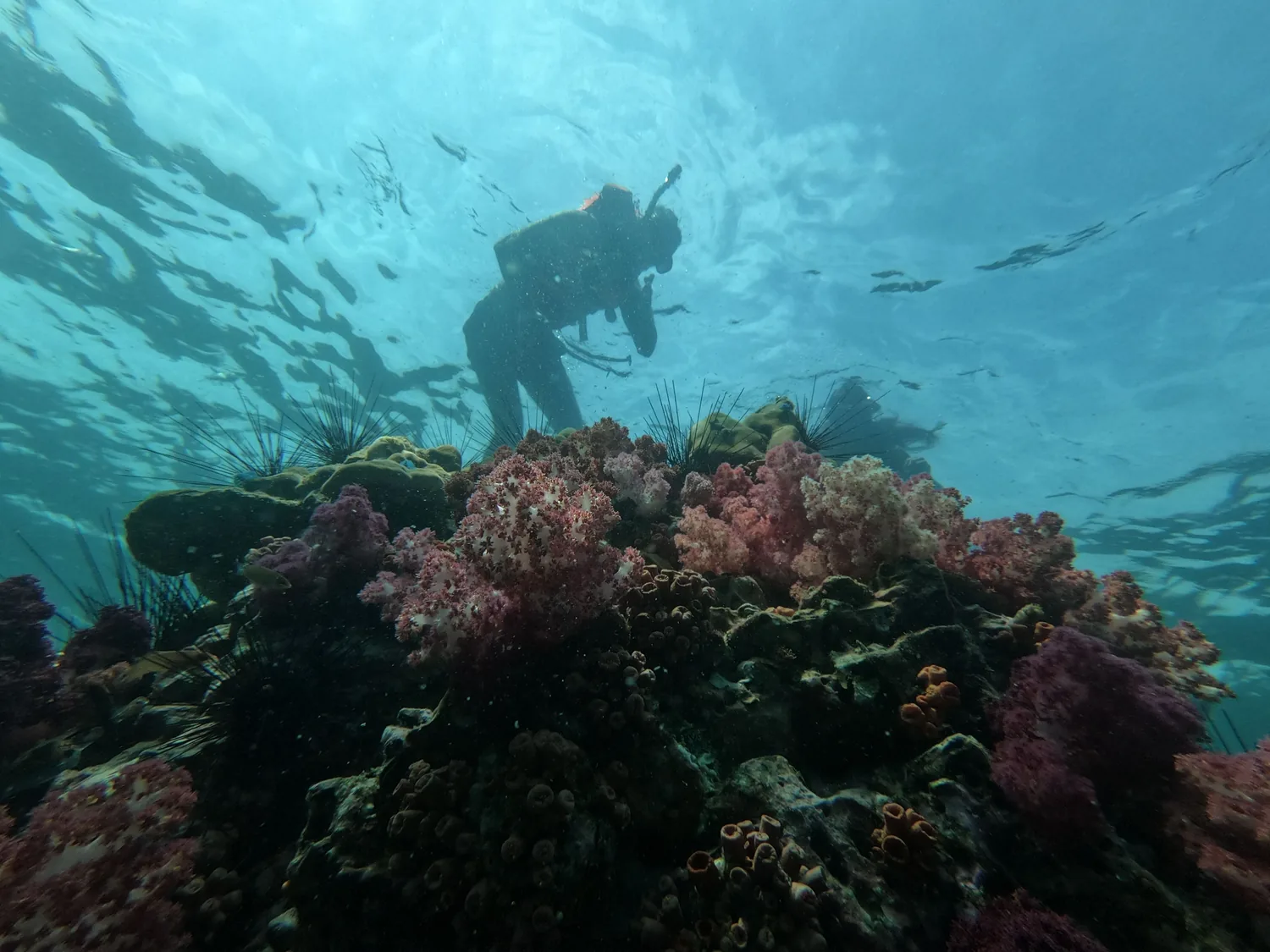
Scuba researcher moving through an underwater ecosystem
0 m4,000 m

Research beyond the blue line

Mappingthelivingsystemsbeneathus.

Pelagic combines autonomous observation, marine ecology, and open data to make the ocean legible—and its changing patterns impossible to ignore.

Descend into the field log ↓
2.8Mobservations
47research partners
11,200 kmsurveyed
EXPEDITION / 01

Observation becomes evidence when the context remains visible.

The ocean is not empty space between continents. It is the system connecting all of them.

Underwater expedition field image 1
Surface team / deployment
01

Abyssal Array

A year-long listening field across six seamounts.

4,200 m
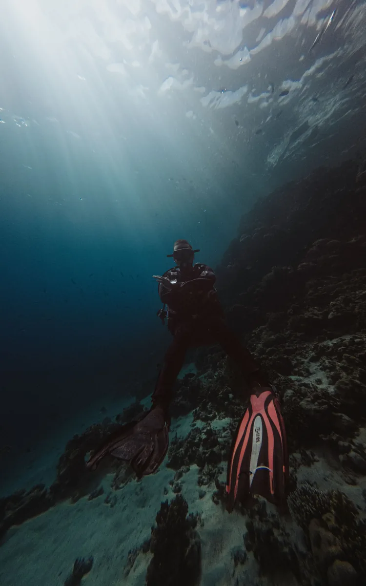
Underwater expedition field image 2
Twilight zone / live survey
02

Current Atlas

A living map of temperature and nutrient exchange.

18 TB
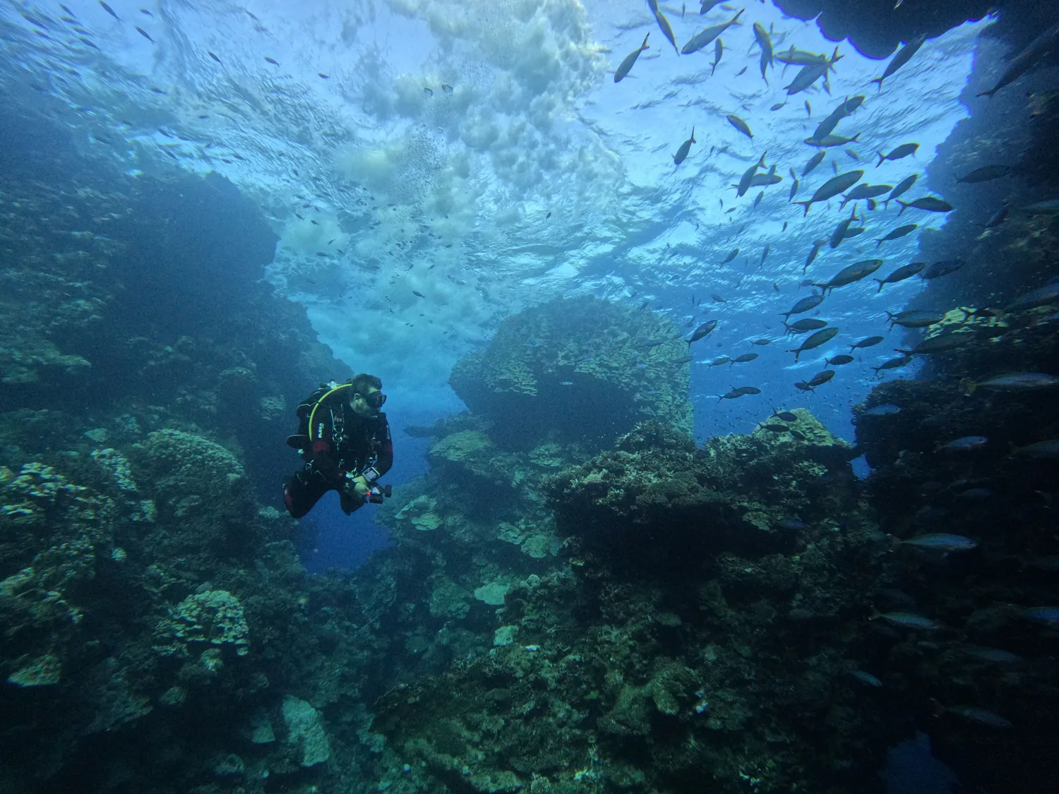
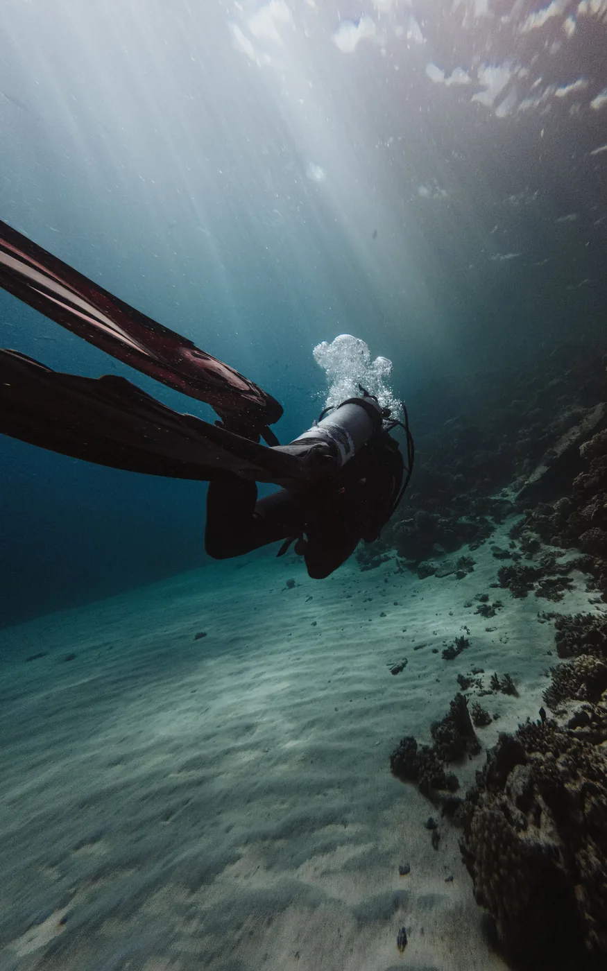
Underwater expedition field image 3
Reef transect / biodiversity
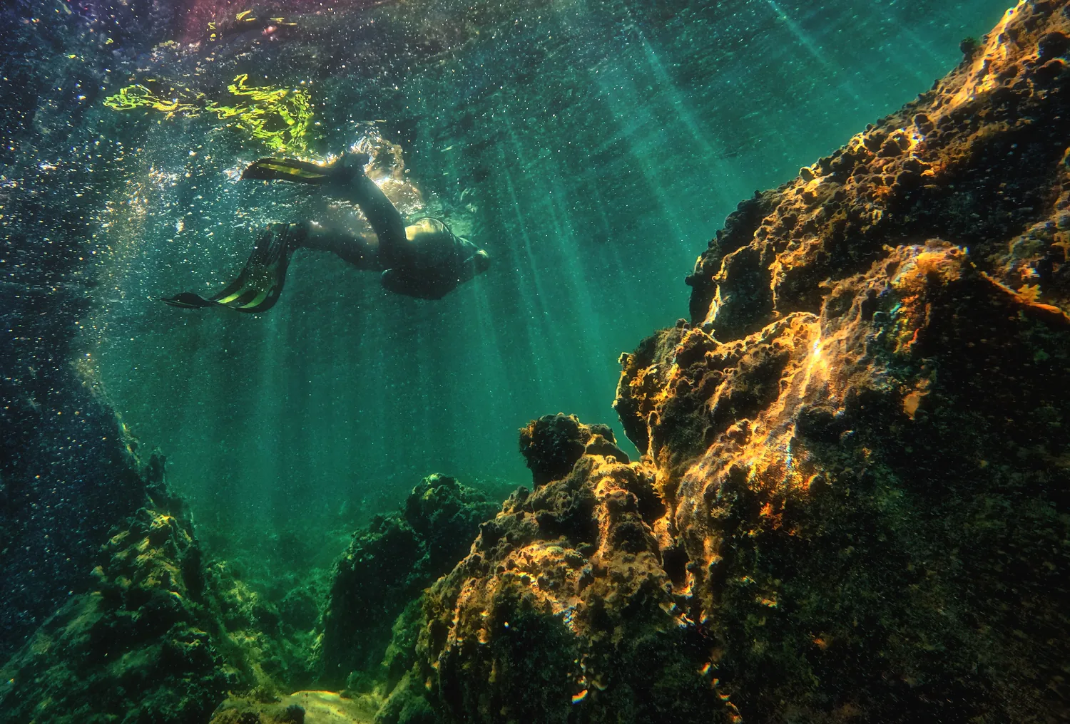
Underwater expedition field image 4
Shared ocean / open archive

Research systems

Work organized by depth, time and ecological consequence.

01

Autonomous sensing

Long-duration instruments collecting high-resolution ocean observations.

Read field method ↗
02

Ecological modelling

Interpreting movement, temperature, chemistry, and habitat as one system.

Read field method ↗
03

Open ocean data

Research translated into accessible tools for science and public policy.

Read field method ↗

OPEN WATER / OPEN DATA

What is measured returns to the people protecting it.

01Abyssal ArrayDeep ocean / 4,200 m
02Current AtlasClimate / 18 TB
03Reef SignalBiodiversity / 34 sites
04Blue CommonsOpen data / Free

Collaborate at depth

Explore the mission

Partner with our next open-ocean expedition.